
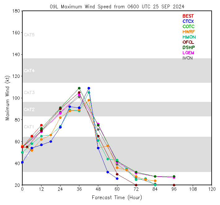
There is some tropical cyclone trouble again down in the Gulf. This gal spawned pretty fast down as they tend to do. The models say that it’s likely that she will head up near Atlanta, although the worst effects are almost certainly going to be south and east of the city.
As of this afternoon, Hurricane Helene is now a Category 1.
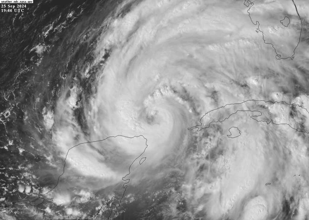
Helene at around 4 pm on Wednesday / NASA GOES
Hurricanes feed off of warmth, so of course it’s natural to want to check out Hotlanta. (Helene may be disappointed at the lack of water.)
If she does make it up that way, she will have quietened down by the time she gets there, but will still be in a position to cause some trouble!
This is really just a test-run post, so I’m not doing as much analysis as I might normally do. Check the NHC if you want updates! (Is this really where we are right now? A Miami Herald editorial from today: “Florida’s bracing for a major hurricane. This is why we need NOAA, not Project 2025”.)
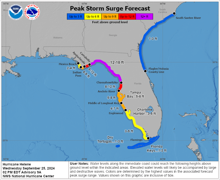
Tampa needs to be ready, even if most of the tracks have it hitting, yet again, at one of the least populated parts of the Florida Gulf Coast. Kind of toward that trigger-finger area of the Florida pistol.
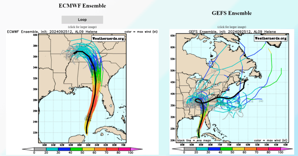
Many models have the center of the storm veering near or just east of Atlanta, early Friday morning.
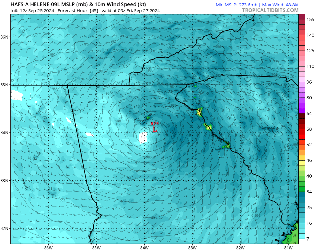
HAFS-A shows max winds east of Atlanta Friday at 5 am of about 56 mph. Could be a howling night. / Tropical Tidbits
The worst of the rain is also likely to be east of the metro area.
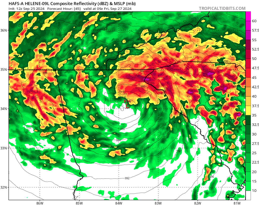
HAFS-A for Friday at 5 am at Tropical Tidbits
The latest ECMWF integrated forecasting system run does suggest that Tampa ought to be on guard, although as I have said in the past, Tampa terrain is not as flat as the terrain in South Florida, so hurricanes tend to get tripped up by it.
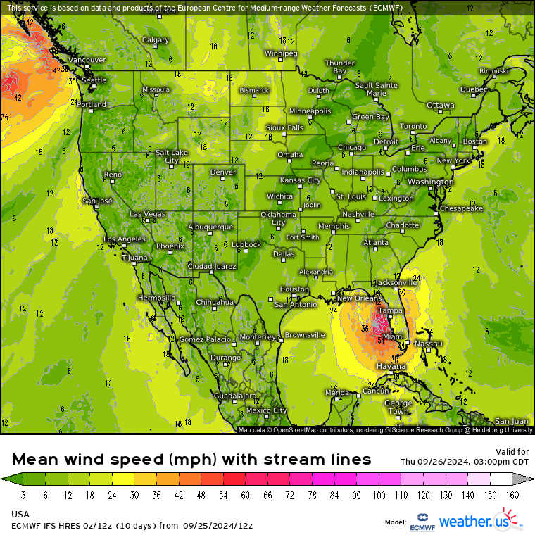
ECMWF at Weather.us
Just don’t tempt fate by walking out there if there is a reverse surge!
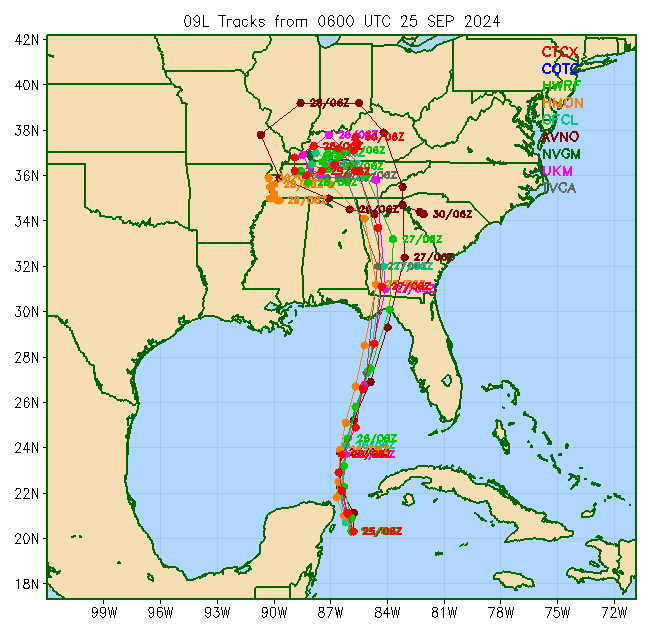
The COAMPS multimodel records a GFS path there (AVNO) that is a bit to the east.
Of course by the time the storm gets to that point, where exactly the center and lowest pressure is does not make a lot of difference. Where the clouds spawn, or even small (Eastern-style) tornadoes, is going to matter more.
We’ll see how well this post works. This is basically just an experiment.
Dan